

Clean, Modern Maps.
Spatial Insight.
Craig Spatial blends real‑world data analysis, bold color design, and a passion for history and the outdoors to create maps that are intentional, expressive, and visually striking.


Geospatial Services
-
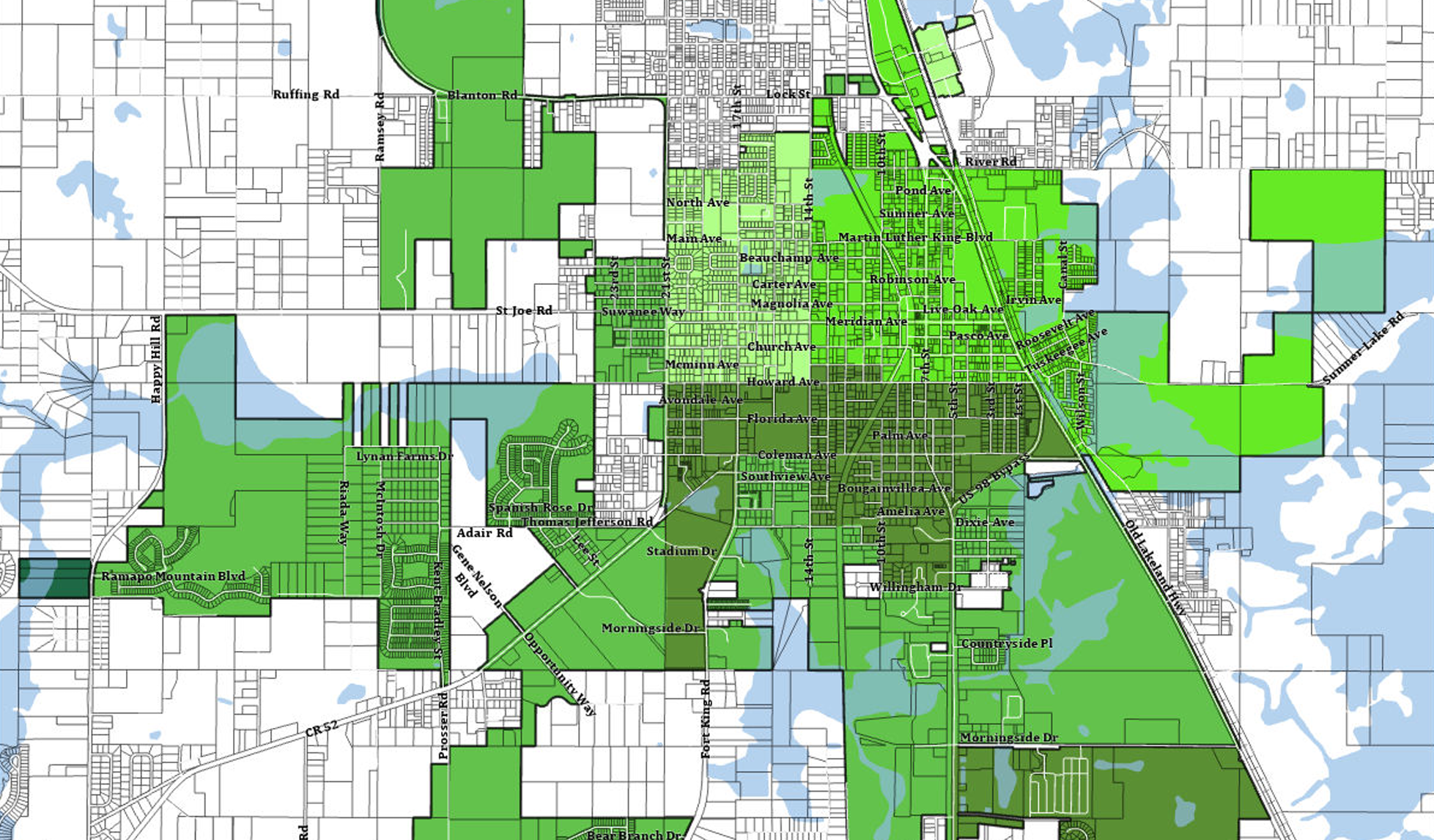
Clear, accurate spatial analysis built from real‑world datasets and resourceful data sourcing to support planning, policy, and decision‑making.
-
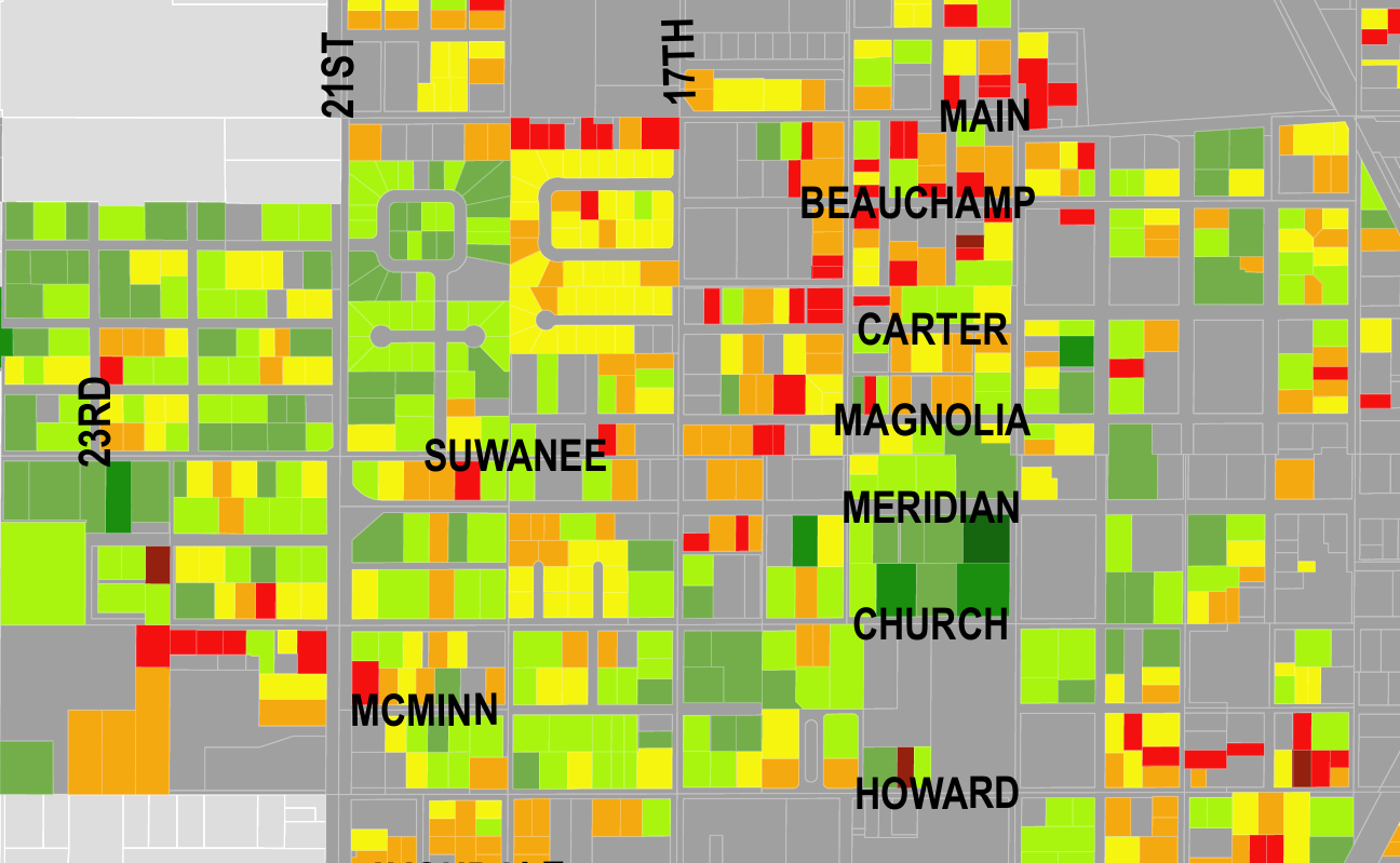
Purpose‑built maps featuring bold color systems, strong visual hierarchy, and intentional layouts designed for reports, presentations, and digital platforms.
-
Narrative‑driven interactive maps that combine archival materials, photography, and modern datasets to show how places evolve over time.
-
Detailed elevation profiles, hillshades, and terrain visualizations that reveal patterns, support planning, and enhance environmental or recreational projects.
-
Interactive web maps, StoryMaps, and ArcGIS Online deployments, including municipal data conversion, hosted layers, and turnkey web‑mapping solutions for small towns and organizations.
